|
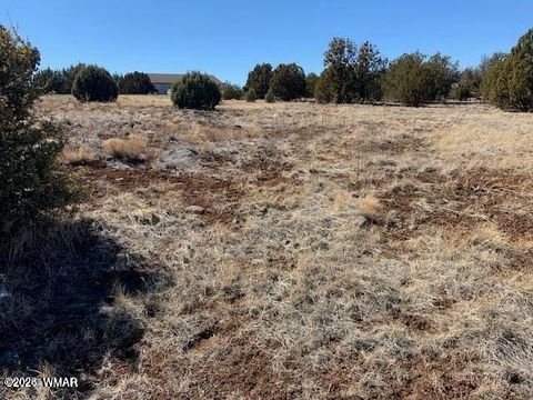
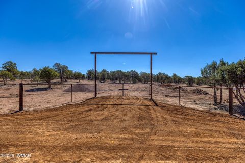
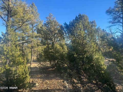
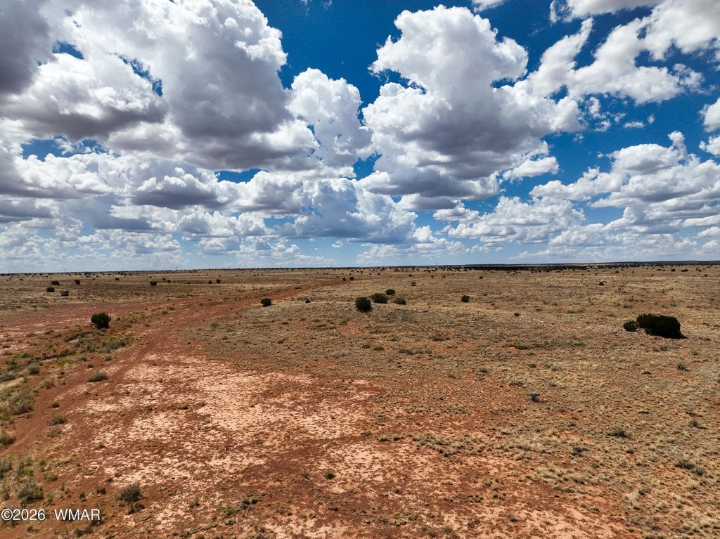
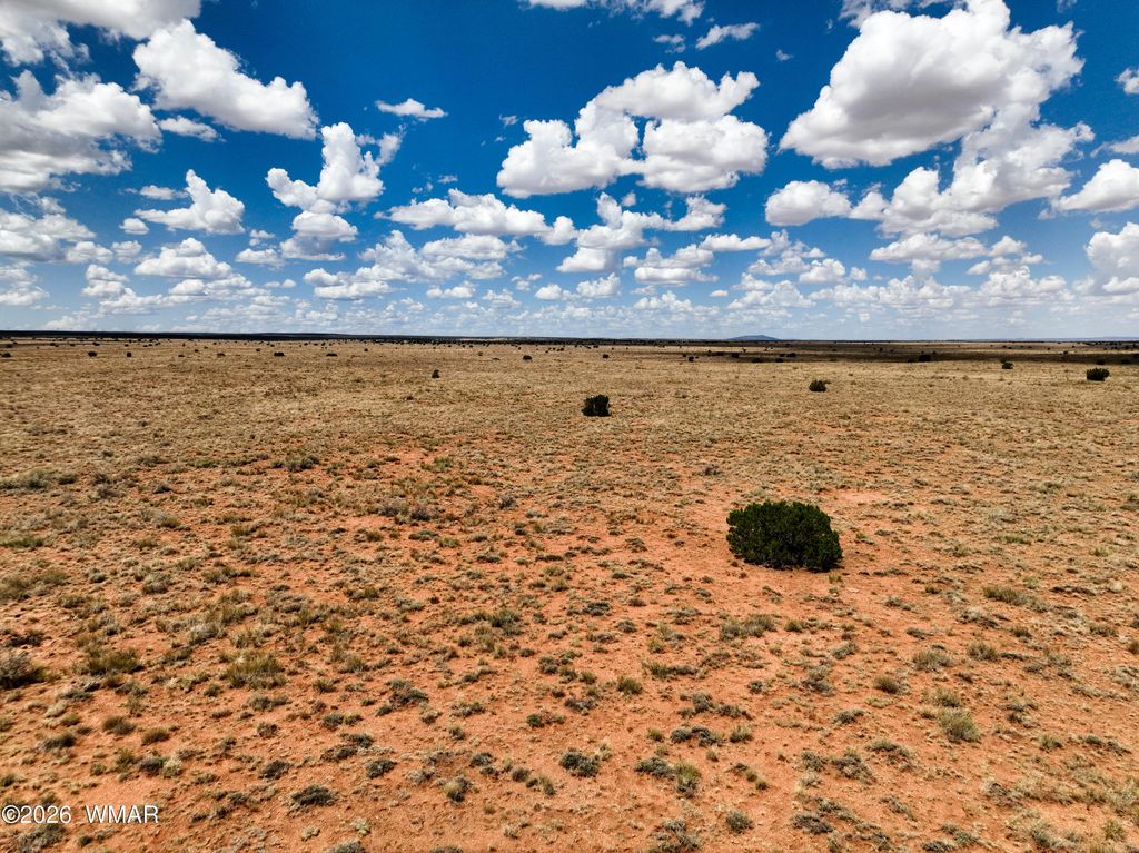
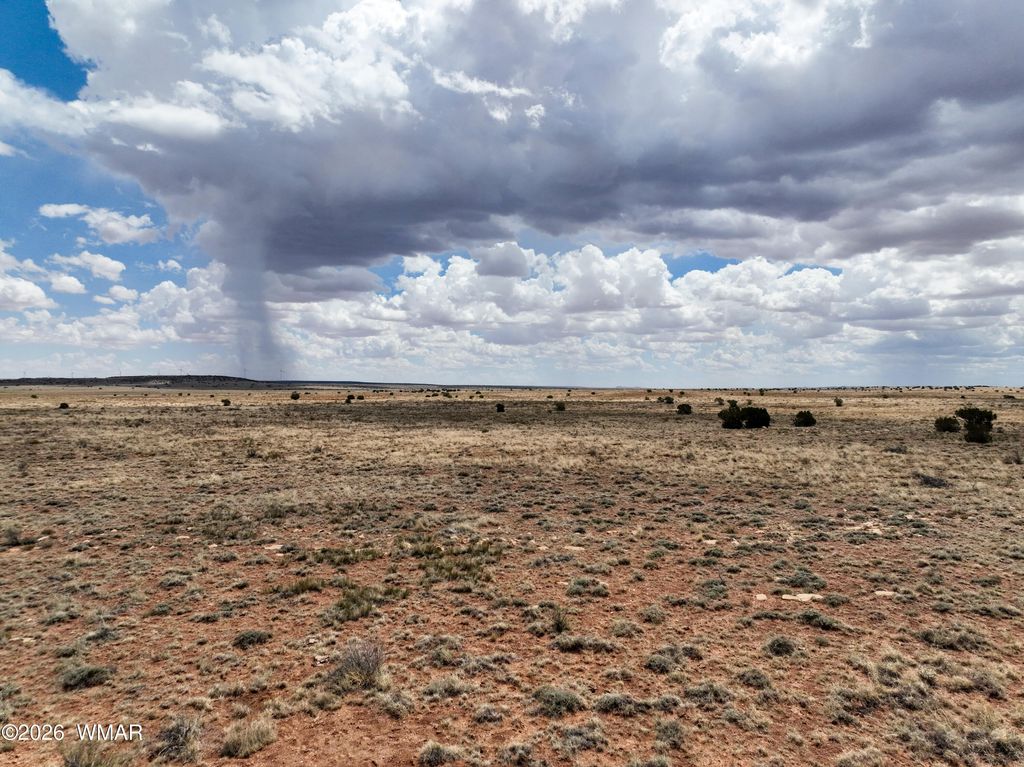
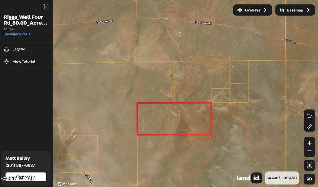
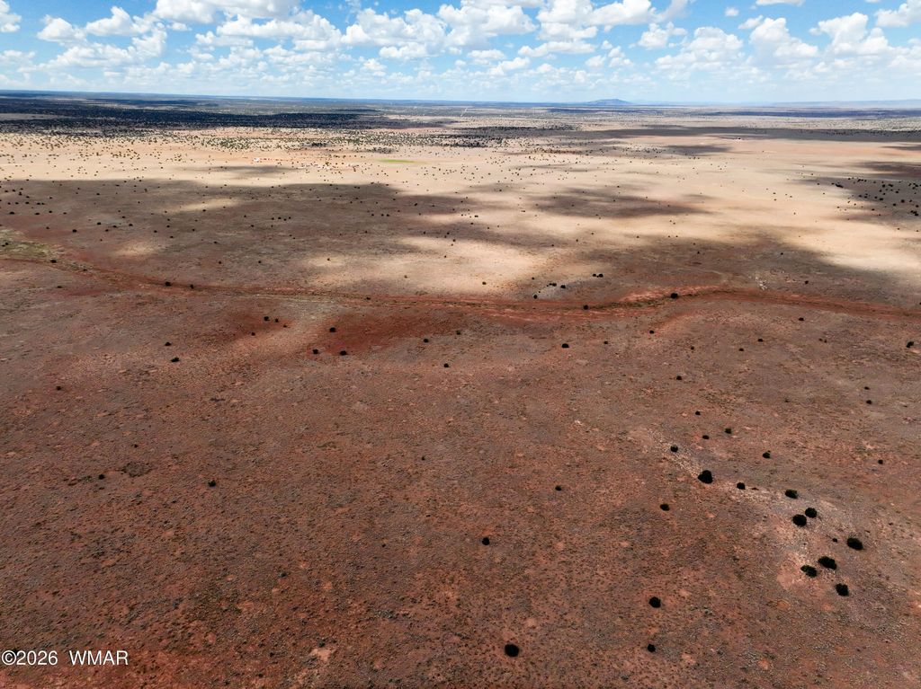
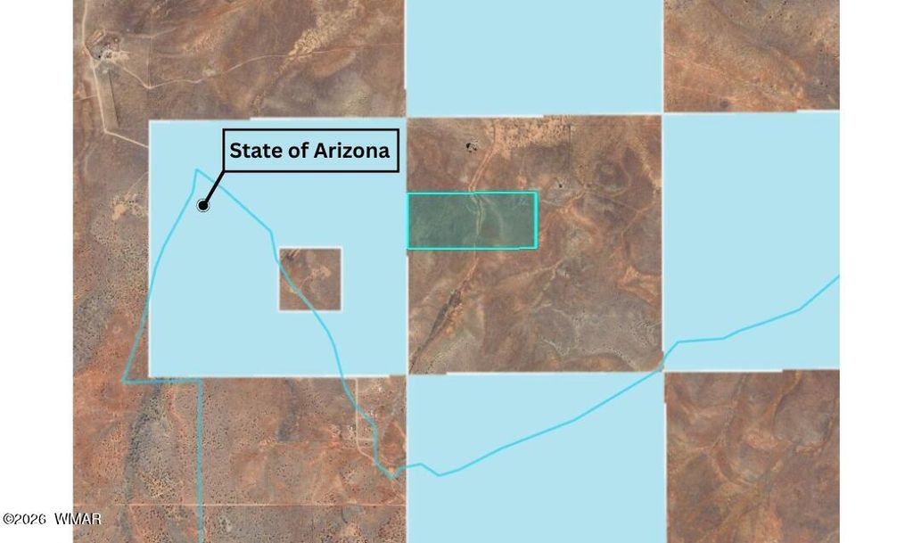
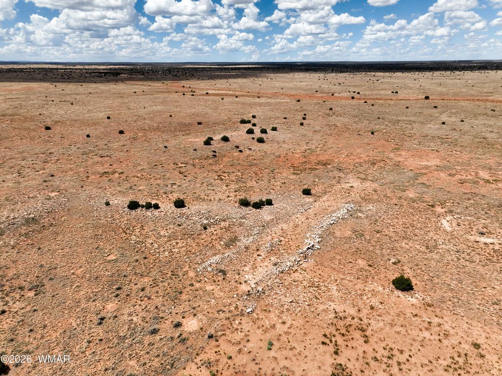
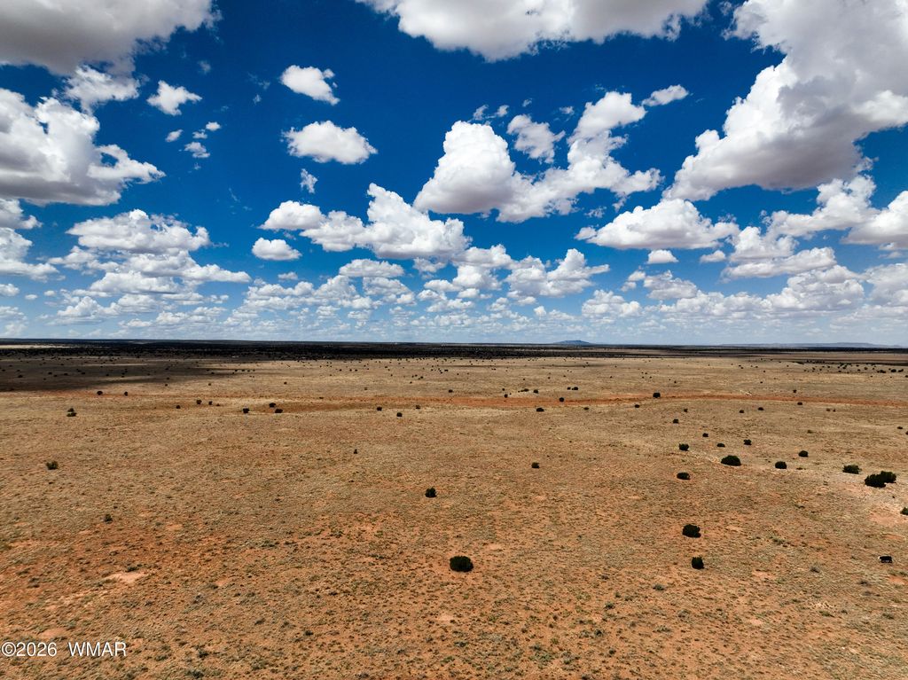
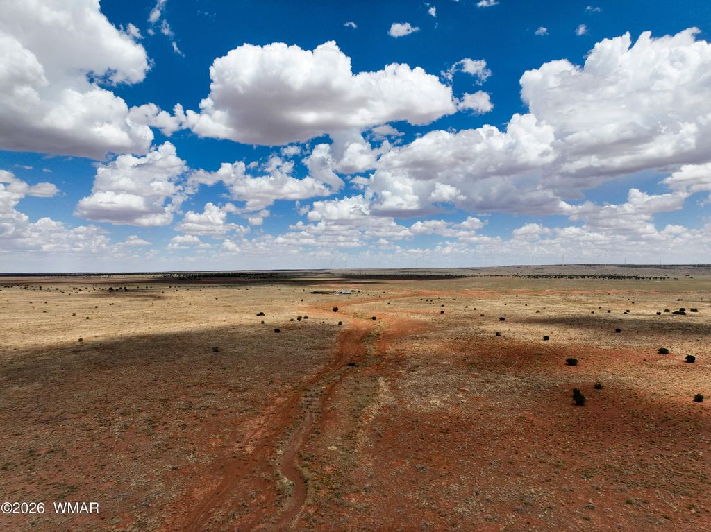
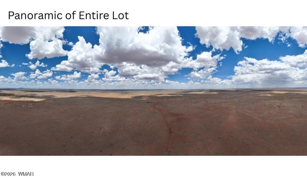
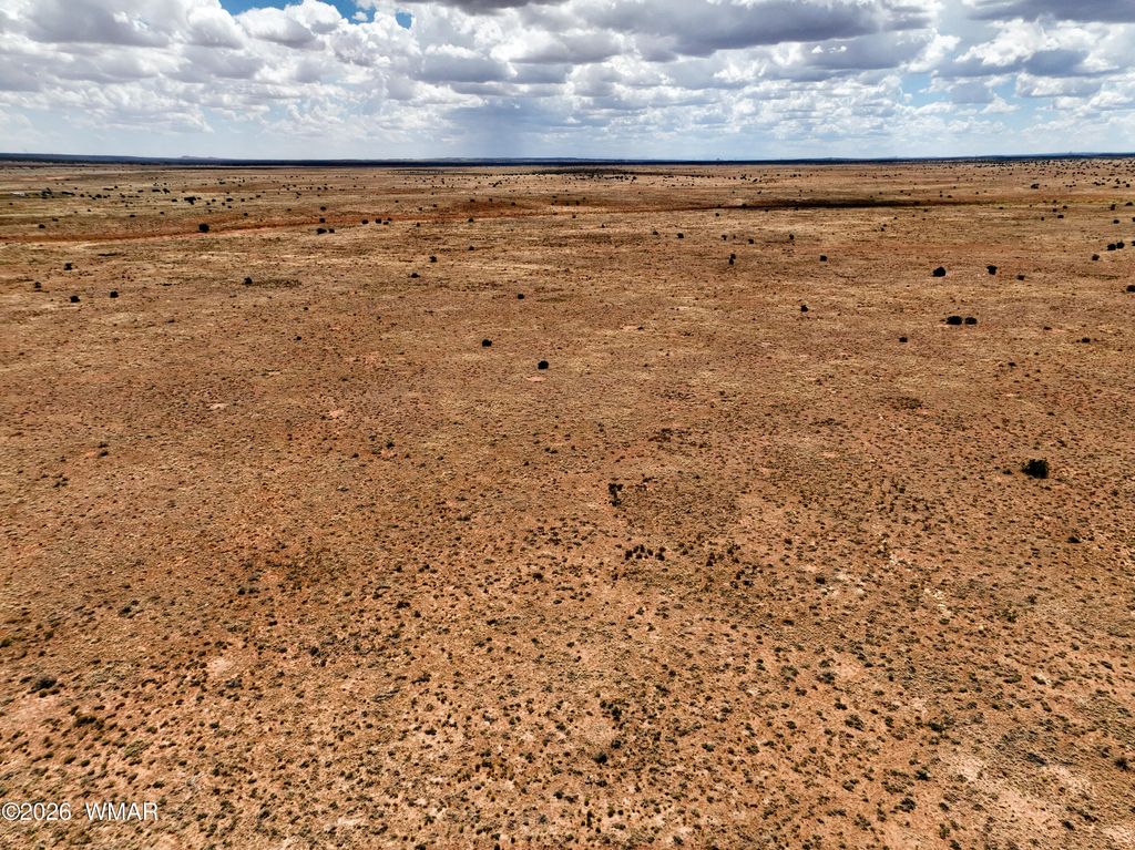
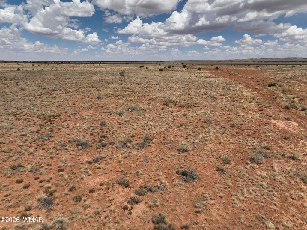
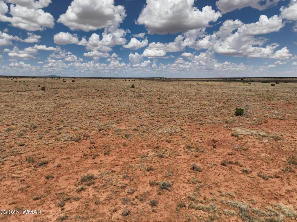
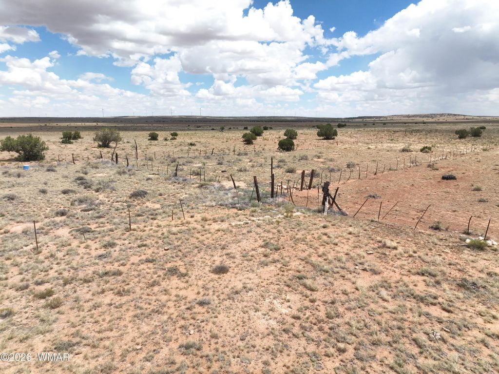
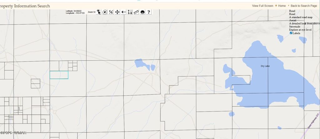
Ranch land that borders State Land to the West. Remote, private and peaceful. Located at an elevation of approx. 5600. See associated docs for location. GPS co-ordinates are: Latitude: 34.63543, Longitude: -110.50244. There is no sign on the property.
Property Type(s):
Lot/Land/Acreage
| Last Updated | 3/27/2026 | Tract | 00 Needs Subdivision 00 |
|---|---|---|---|
| Year Built | 0 | Community | Snowflake |
| County | Navajo |
Additional Details
| AREA | Snowflake |
|---|---|
| LOT | 80 acre(s) |
| LOT DESCRIPTION | Level |
| LOT DIMENSIONS | 80.0 |
| SUBDIVISION | 00 Needs Subdivision 00 |
| TAXES | 138.08 |
| UTILITIES | None, Electricity Not Available |
| ZONING | AG |
Contact us about this Property
| / | |
| We respect your online privacy and will never spam you. By submitting this form with your telephone number you are consenting for Jason Grimes to contact you even if your name is on a Federal or State "Do not call List". | |
Listed with West USA Realty - Snowflake
©Copyright 2026, Last Updated: 3/29/26 11:54 PM PDT, Listing data deemed reliable but not guaranteed.
This IDX solution is (c) Diverse Solutions 2026.